Ice Age Map #
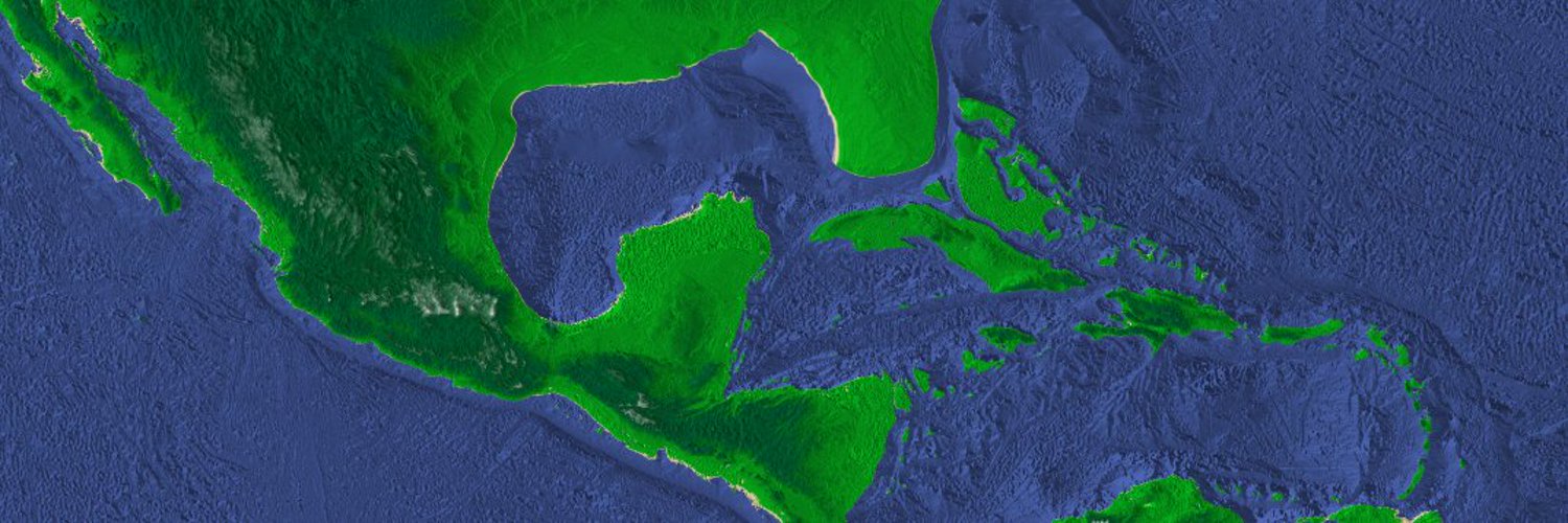
I have a vision to create a virtual world where the history and multiple heritages of humanity are visible and explorable. The virtual world should be able to simlate the tectonic plates, the climate, and the ocean levels. In the videos and map below, there is a very different picture of the land masses during the ice age than today. Current research shows that many centers of our civilization may actually be underwater from the rise in sea level. By building this map, it could point out patterns in settlement which could lead to new discoveries in addition to being an important educational resource.
To sample the data I intend on putting on this map, please see: Research Related to Indigenous Peoples Of The So Called Americas.
To see the techologies and other sources of data which I’ll likely use to build the map, see: open-source-gis.
If you are interested in this project, please consider supporting me.